React Template for Resium
Cesium is a powerful platform for creating 3D maps and visualizations, and with the introduction of the Resium library, integrating Cesium with React applications has become significantly simpler. Resium leverages React components to streamline the building of Cesium maps, making it easier for developers to manage complex geospatial data within a familiar framework. This combination not only enhances the experience for developers but also allows for highly interactive and customizable mapping solutions.
The versatility of Cesium’s API coupled with React’s component-based architecture offers endless possibilities for creating visually appealing applications. Whether you’re working on a simple geographical tool or a complex visualization project, the Resium library provides the building blocks needed to realize your vision with minimal hassle.
Seamless Integration: Easily integrates CesiumJS with React applications, allowing developers to leverage the power of both seamlessly.
Component-Based Architecture: Utilizes React components to represent various elements of the Cesium map, promoting reusability and easier management of state and properties.
Flexible Coordinate Systems: Supports multiple coordinate systems including Cartesian coordinates and geographic coordinates, making it adaptable for various mapping needs.
Efficient Rendering: Leverages Webpack for optimized build and rendering processes, ensuring fast performance even with extensive datasets.
Comprehensive API Access: Provides access to Cesium’s extensive API, enabling developers to utilize all of Cesium’s features, from entity management to terrain loading.
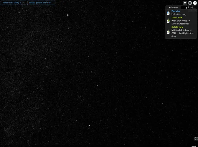
User Interaction Handling: Streamlines the handling of user interactions, such as mouse clicks and screen coordinates, simplifying the development of intuitive user experiences.
Support for Custom Terrain and Imagery: Easily load custom terrain and imagery layers using the ImageLayer and Terrain methods, allowing for tailored visualizations.
Robust Plugin Support: Compatible with additional Cesium plugins, such as cesium-tdt, expanding the functionality of the mapping solutions you create.